
Goal
Develop a bottom-up inventory of ship NOx emissions using AIS vessel tracking data and compare results with existing emissions inventories, including those developed by the California Air Resources Board (CARB) and Blue Whales Blue Skies (BWBS), to evaluate methodologies, improve ship emissions estimates for California Coastal waters, and support future comparisons with satellite-based NO₂ observations from TEMPO to monitor and evaluate ship-related air pollution.
Objectives
Process and quality-control AIS vessel data for the California Coastal Region.
Estimate vessel NOx emissions using AIS-derived vessel activity, vessel characteristics, engine power, load factors, and emission factors.
Aggregate emissions spatially and temporally to generate emission inventories and hotspot maps.
Compare the AIS-based inventory with CARB and BWBS inventories to identify differences and sources of uncertainty.
Generate emissions products that can be used to compare with and evaluate satellite observations from TEMPO, improving understanding of ship-related NO₂ emissions and their spatial patterns.
Funding Partner:
NASA
Timeline:
2025 – Present
Tools:
NOAA AIS Data, Python, ArcGIS Pro, CARB Emissions Inventory, BWBS Ship Emissions Inventory
Core Team Members:
Tracey Holloway, Rachel Ramnarine
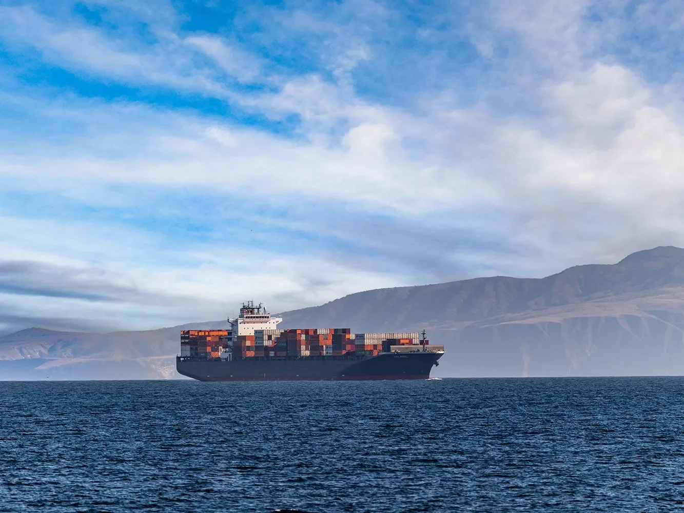
Photo: Ralph Clevenger Wildlife via Blue Whales Blue Skies